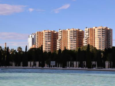
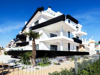
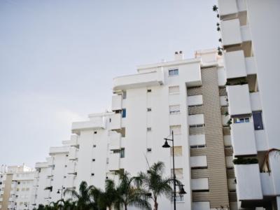
'HURRICANE Miguel' is on its way to mainland Spain, although the Met office expects most of the east and south will escape its effects.
The State weather office AEMET said an 'explosive cyclogenesis' was beginning to form in the mid-Atlantic yesterday (Wednesday), due to hit Galicia at some point today.
Despite its apocalyptic-sounding name, an 'explosive cyclogenesis' is merely an atmospheric depression which brings high winds and downpours.
Force 7 to 9 gales are expected today and tomorrow in Asturias and along the coastal provinces of Galicia, with gusts of up to 100 kilometres per hour (62mph) across those of Pontevedra and A Coruña.
Waves of between four and seven metres in height (13 feet to 22'9”) are forecast along the coasts of both regions, which have been placed under an 'orange' weather warning until at least tomorrow.
'Yellow' warnings have been issued ahead of forecast winds of between 70 and 90 kilometres per hour (43 to 56mph) in the provinces of Zaragoza (Aragón), León, Palencia, Zamora and Salamanca (Castilla y León), Lleida (Catalunya) and the northern coastal region of Cantabria.
Heavy rain, ranging from 20 litres per square metre (two centimetres, or just under an inch) within an hour to 60 litres per square metre (six centimetres, or nearly two-and-a-half inches) in 12 hours, are expected to remain entirely in Galicia.
Usually, weather phenomena which reaches Spain via the Atlantic spreads from the north-west down to the south-east and Mediterranean within a day or two, but this will be one of those rare occasions when it does not, AEMET confirms.
Instead, by Friday night, it will start to head directly north, hitting Brittany, France and then entering the UK via the south-west coast.