


€ 3,500,000
Building Plot for sale in Muro de Alcoy, Alicante
- 120274 m2
- 120274 m2
Description
Reference: 1040658
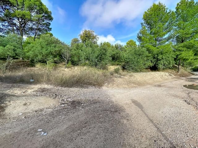
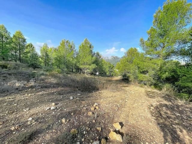
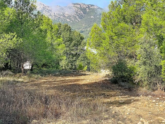
L'Arpella, Muro de Alcoy, developable land, potential for 90 single-family homes.
Developable land in Muro de Alcoy - Alicante.
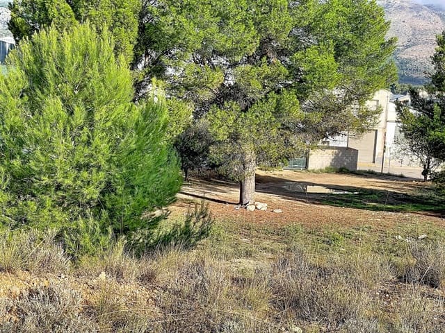
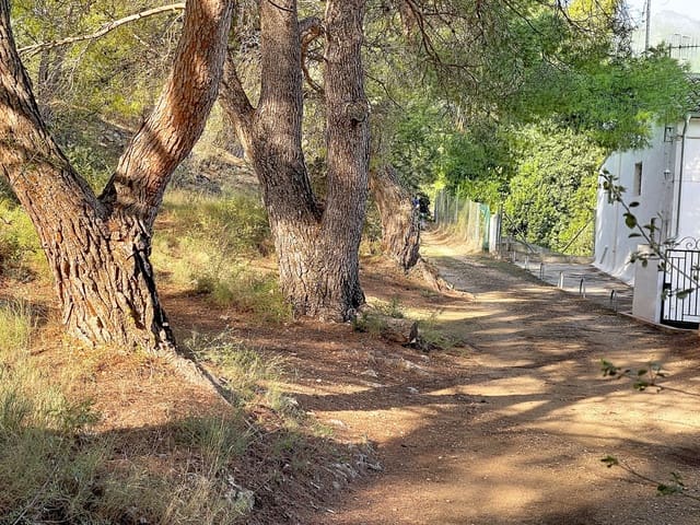
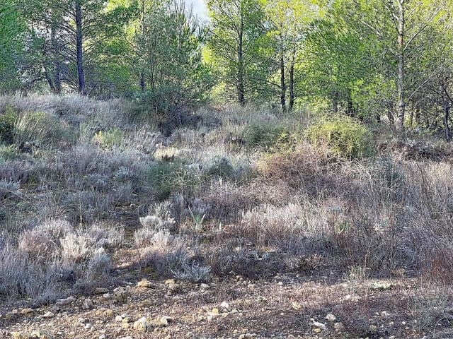
Land in Muro de Alcoy, in L'Arpella.
Muro de Alcoy is a fifteen-minute drive from Alcoy and an hour from Valencia, as well as from Alicante.
Most of the land is classified and designated as residential developable land under the current planning regulations, namely the General Urban Development Plan (PGOU) of Muro de Alcoy Town Council.
For property tax (IBI) purposes, it is assessed as land valued by location and not occupied by buildings.
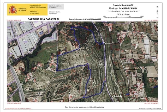
The land covers approximately 12 hectares and is located in the L'Arpella area within the Muro de Alcoy property no. 5,400, recorded in the Cocentaina Land Registry and comprising a group of seven properties (689, 1.476, 1.933, 1.946, 3.504, 3.603 and 3.803), which are pending subdivision.
The cadastral references and areas of the land for sale are as follows:
03092A006000250000MI (Polygon 6, Parcel 25, 108,056 m2)
03092A006000300000ME (Polygon 6, Parcel 30, 4,021 m2)
03092A006000620000ME (Polygon 6, Parcel 62, 8,197 m2). Total: 120,274 m2
For the specific L'Arpella area, the General Urban Development Plan allows for up to nine detached single-family homes per hectare, with a maximum height of two above-ground floors. The PGOU also permits other compatible uses: industrial (artisanal), automotive services (garages), tertiary (retail) and community facilities (sports, education, sociocultural, religious, administrative, care and residential).
Furthermore, the gross floor area ratio for the L'Arpella sector is set at 0.20 m2t/m2s; accordingly, the total permitted floor area for the sector is calculated as follows: 368,201 m2s x 0.20 m2t/m2s = 73,640 m2t. For the purposes of calculating the maximum permitted floor area, all above-ground floors, semi-basements and roof spaces with a clear height of more than 1.5 metres will be included.
In addition, the planning framework stipulates that, if development is carried out through two or more execution units, the first must be larger than 40,000 m2.
The Partial Plan governing the sector must provide for the construction of a street running parallel to the N-340 road as far as the urban land; development of the sector will be conditional on completion of this road, which must include a noise barrier.
Parcel 25 is classified as residential developable land, except for a portion to the south, specifically sub-parcels i, j and k (total developable land: 108,056 - 2,642 - 5,550 - 203 = 99,661 m2). Parcels 30 and 62, meanwhile, lie within land forming part of the Primary Network of Public Facilities, more specifically Public Park (PQL).
Based on the above, for one hectare: 10,000 m2/s x 0.2 m2t/m2s = 2,000 m2t; 2,000 m2t / 9 homes = 222.22 m2t per home.
For our area: 99,661 m2/s x 0.2 m2t/m2s = 19,932.2 m2t; 19,932.2 m2t / 222.22 m2t = 89.695 homes. In other words, almost 90 homes could be built, or a smaller number of larger homes.
The area on offer is sufficient to undertake an initial phase if development is to be carried out in stages.
Features
- Building Plot
- Build Size: 120274 m2
- Plot: 120274 m2
- Energy Efficiency Rating: In Progress