Polar air mass set to bring icy temperatures for Christmas
Polar air mass set to bring icy temperatures for Christmas
A polar air mass from the inner regions of Europe is heading towards Spain and will bring an abrupt drop in temperatures from the middle of the week, just ahead of the country's Christmas celebrations.
Between Thursday and Friday - Christmas Eve and Christmas Day - temperatures will drop by around ten degrees, giving the country a much more wintry feel.
Christmas Eve
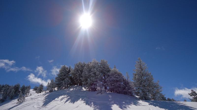
Thursday 24th will bring rain to the north of Galicia, to Cantabria and to the Pyrenees - light showers in general, but with localised heavy rain and snow above 1,000 metres, or even lower in some areas. In contrast, much of the eastern and southern parts of the country will have more or less cloudless skies.
The most noticeable change will be the drop in maximum temperatures as the polar air mass moves in across the country. In many northern towns and cities the mercury will struggle to reach double figures and the highs across the country will remain below 20 ºC. The lows will also be dropping in the northern half of the country, especially in mountainous areas and in Castilla y León.
Christmas Day
The anticyclone in the Atlantic will linger into Friday, affecting the north of the country, bringing cold north/north-easterly winds and rain to Cantabria and the Pyrenees, to the extreme north east of the country and to the Balearic Islands, with a slight risk of rain along eastern coastal areas and in the Strait of Gibraltar.
In the Pyrenees and Cantabrian Mountains the rain will turn to snow at around the 1,000/1,200 metre mark, and possibly even below the 1,000 metre mark as the day goes on.
Temperatures are set to drop dramatically, with heavy frosts in the northern half of the country and many areas of the south. Overnight lows will drop below 0º C in regional capitals like León, Burgos, Huesca, Teruel, Cuenca and Segovia. Extra precaution on the roads is urged as sheets of ice could form by the end of the day.
The early hours of Saturday morning look set to see some of the lowest temperatures of the year so far with -6 ºC in Teruel and Ávila, -4 ºC in Soria and León and -2 ºC in Palencia and Madrid.